

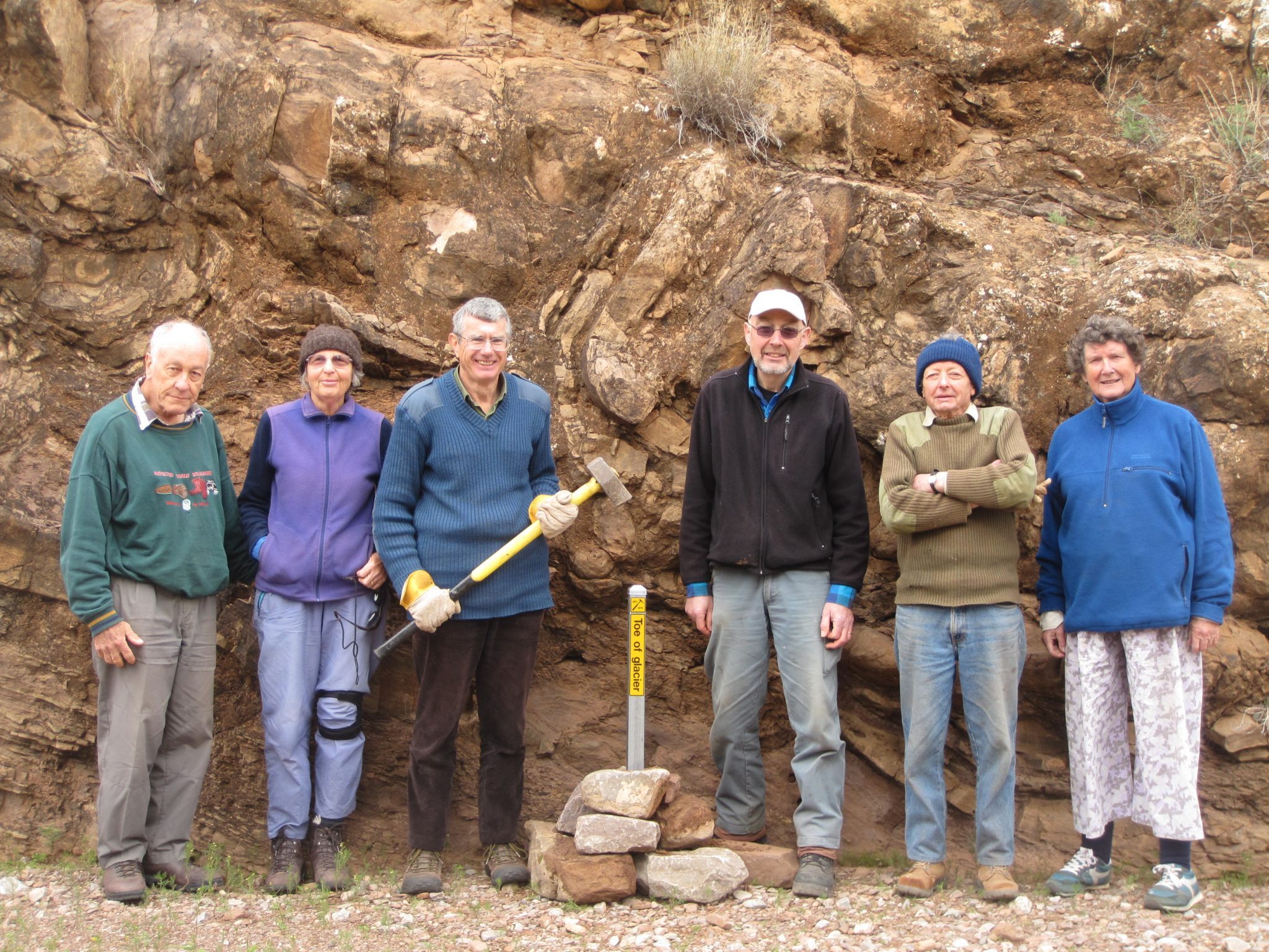
These Apps provide notes for walkers with details about the landscape they are walking through. All our country has stories whether about geology, Aboriginal occupation, flora and fauna or European settlement.
Experience. Geography. Together.TM
These Apps provide maps and notes for walks in the Flinders Ranges and the Barossa Valley in South Australia.
The walks are straightforward for the average walker and can be accomplished within a day. There are details in the magnificent landscapes that can be taken in at leisure, and plants, wildlife and rocks to look out for. For more information about the App, please see the Walking Trails Support Group.
These trails were established by the Royal Geographical Society of South Australia members and members of the Walking Trails Support Group.
If you are interested in helping maintain these walks, or want more information about the trails, contact the Walking Trails Support Group.
The free BAROSSA COUNTRY WALKS App contains maps and descriptive notes for bush and country walks. The walks were established by the RGSSA members and members of the Walking Trails Support Group, based on those described in the Society's guidebook 'Exploring the Barossa'.
Each walk is straightforward for the average person and can be accomplished within a day. From the Barossa Goldfields in the west to Mt Pleasant in the east, the diversity of the walks highlights both the natural and the cultural features in this region, and most offer magnificent views. Several locations, such as Sandy Creek Conservation Park and Altona CSR Landcare Reserve, are well-known as bird-watching hotspots. Other destinations, such as the Goldfields, offer insight into the area’s mining history.
The information for each walk includes an introduction describing the highlights, distance, grade and access to the trail. There is a topographical map as well as an interactive GPS track map that displays a blue dot indicating the walker’s location. If enabled, the App will alert the walker with an audible text message when entering GPS range of a point of interest, such as a viewpoint, a site of cultural or historical interest, a geosite, or an area of noteworthy flora or fauna. The notes also have links to Flora, Fauna and Geology Notes for those interested in delving deeper.
© The Royal Geographical Society of South Australia