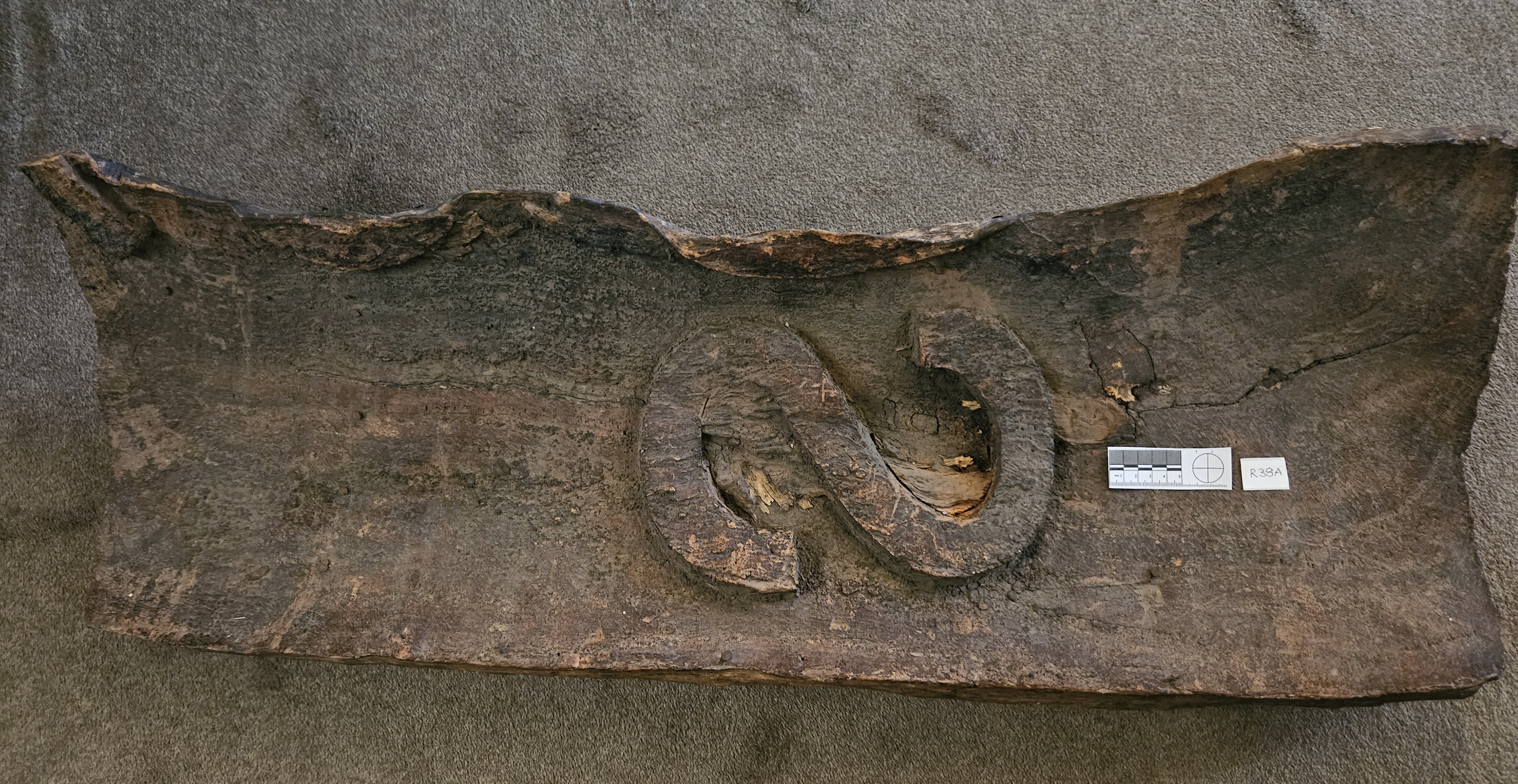
Growth cut from tree marked by Gosse
W.H Tietkins (explorer) cut it out in 1890 at Camp 6, Stevenson Peak, Peterman Ranges N. T. (G and S mirror image).
Information about Gosse's expedition can be found in Read More
Source RGSSA R38
WILLIAM CHRISTIE GOSSE (1842 – 1881)
In April 1873 he led the South Australian Government supported expedition to explore a route from Central Australia to Perth, with Edwin Berry as Second-in- command. William Gosse took camels, horses, and provisions for 8 months.
They went westwards for 4 months, discovered and camped at ULURU (naming it Ayers Rock) on 19th July. Edwin Berry drew the first Colonial sketch of the Rock. As very little water was found, on 17th September Gosse decided it was futile to proceed and returned via Charlotte Waters telegraph station on 19th December 1873.
Although the expedition did not achieve its original plan, it provided details of over 60,000 square miles (155,394 square kms). Gosse’s maps prepared the way for the successful crossing by John Forrest in 1874.
In 1875 Gosse was made Deputy Surveyor General and in July 1881 took sick leave and unfortunately died of a heart attack at home in Adelaide on 12th August 1881.