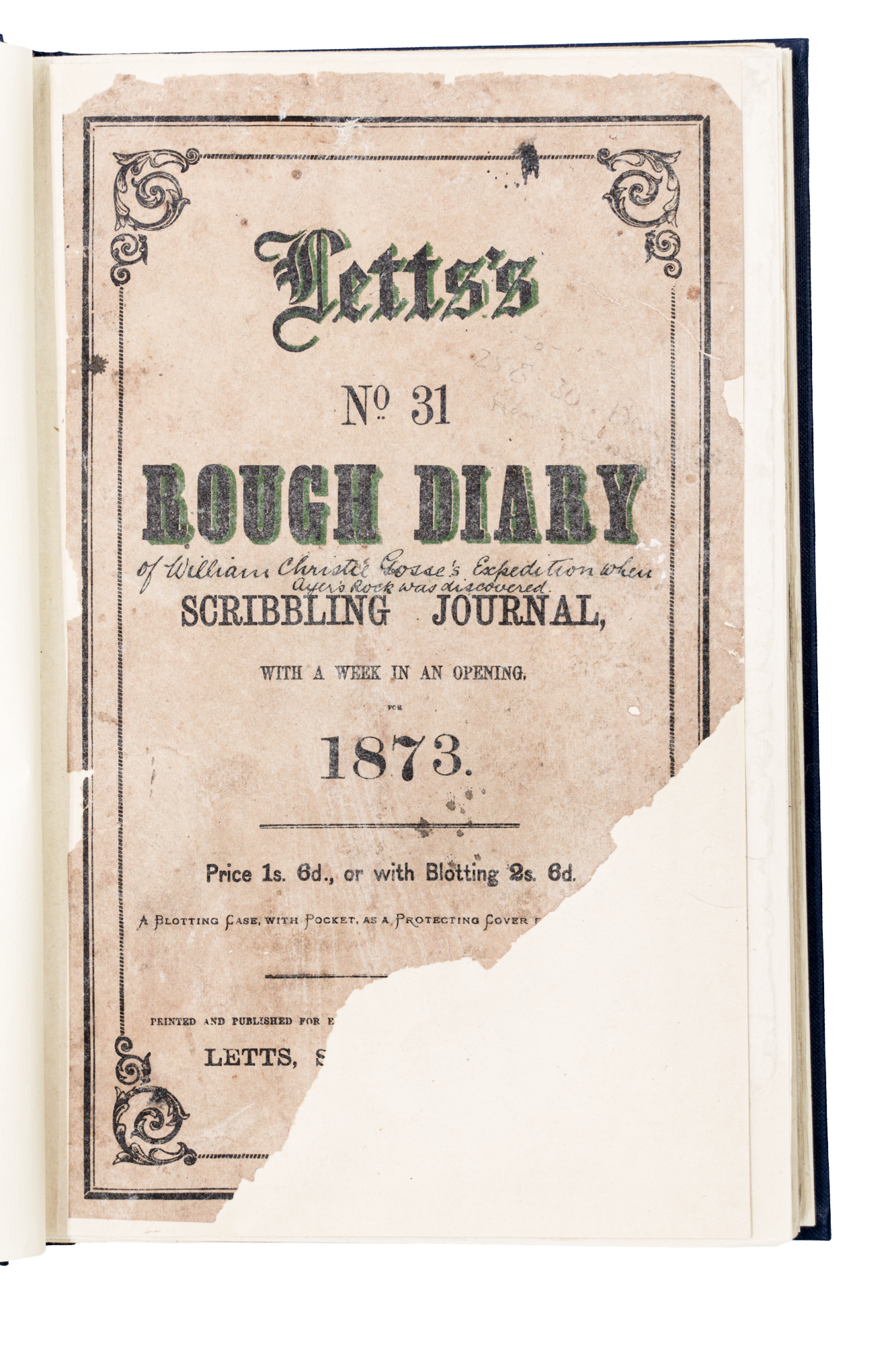
A mixed party of horses, camels and a wagon left Alice Springs telegraph station 23 April 1873. Some three months later Gosse discovered Uluru - which he named Ayers Rock. His description mirrors the astonishment he felt:
"The hill, as I approached presented a most peculiar appearance…it was one immense rock rising abruptly from the plain…[It] appears more wonderful every time I look at it, and I may say it is a sight worth riding over 84 miles of spinifex sandhills to see."
Edwin Berry endeavoured to capture the sight with his rather odd drawing of the rock. Gosse climbed the Rock and discovered that the caves were used by the Aboriginal people and noted that the country was good for 2 miles around it. The view from the top was extensive with Mount Olga (Kata Tjuta) to the west, Lake Amadeus to the north (both already discovered by Ernest Giles in 1872) and a mountain range to the south-east, which Gosse named the Musgrave Range after the Governor. The highest point Mount Woodroffe (Ngarutjaranya) is in fact the tallest mountain in South Australia.
From Ayers Rock Gosse and his party explored west to Mount Olga and Stevenson's Peak, and then south to the Mann Ranges. In this region they found well-watered and grassy plains, and country that Gosse compared with that adjacent to Adelaide. Continuing to the Tomkinson Ranges Gosse continued to the western boundary of South Australia where extensive searching showed only spinifex and sand ahead. He decided for the safety of his party to turn back to the east, abandoning the attempt to reach Perth. Gosse then explored the Musgrave Ranges, finding enroute that the water supplies in the Mann Ranges were drying up. He worked his way along the northern edge of the Musgraves and discovered the Marryat River which united with the Agnes River to form the Alberga. This was followed downstream and then to the Overland Telegraph Line at Charlotte Waters (later called Alice Springs). Gosse's expedition had covered some 60,000 square miles of unknown country and he had travelled 600 miles west from the Overland Telegraph Line.
