This oversized atlas contains hand coloured lithographs of some of the world's earliest and most famous maps. They were published in 1854 by Edme Francois Jomard (1777-1862) curator of geography and maps at the Bibliotheque royale, Paris. Jomard's consuming interest was the history of maps and cartography.
This atlas contains hand coloured lithographic plates of some of the world’s most significant maps. Several maps are so large that they cover four A0 pages (841mm x 1189mm or 33.1 in x 46.8 in)
It is commonly accepted that the first major publication on the history of cartography was this large facsimile collection that was prepared and published in Paris by Edme François Jomard, curator of geography and maps at the Bibliothèque royale and the second viscount of Santarém, Portuguese émigré and historian of discoveries.
Jomard’s project was titled Les monuments de la géographie and was officially published in 1854, although the first instalment had been issued by 1842. More instalments were issued through 1862 and the full set were described and placed in a final sequence by Jomard’s colleague Marie Armand Pascale d’Avezac in1867.
French geographer, Jomard, was an archaeologist and antiquary who took part in the French expedition to Egypt, 1798, and collaborated in "Description de L'Égypte " (1809-28) the massive publication sponsored by Napoleon. Jomard was President of the Geographical Society of Paris, 1848, and sole survivor of Napoleon’s scientific corps in Egypt.
The Jomard atlas starts with a celestial globe, arab- kufic, in bronze from the 11th century. It finishes with the World map or Mappemonde by Gerard Mercator 1569 consisting of eight sheets.
rgsp 912 J 75d gallery window sill 7
(The RGSSA’s catalogue says published 1842-65, although printing began around 1830s. Our copy appears to be 1842.)
Charts, maps and pictograms
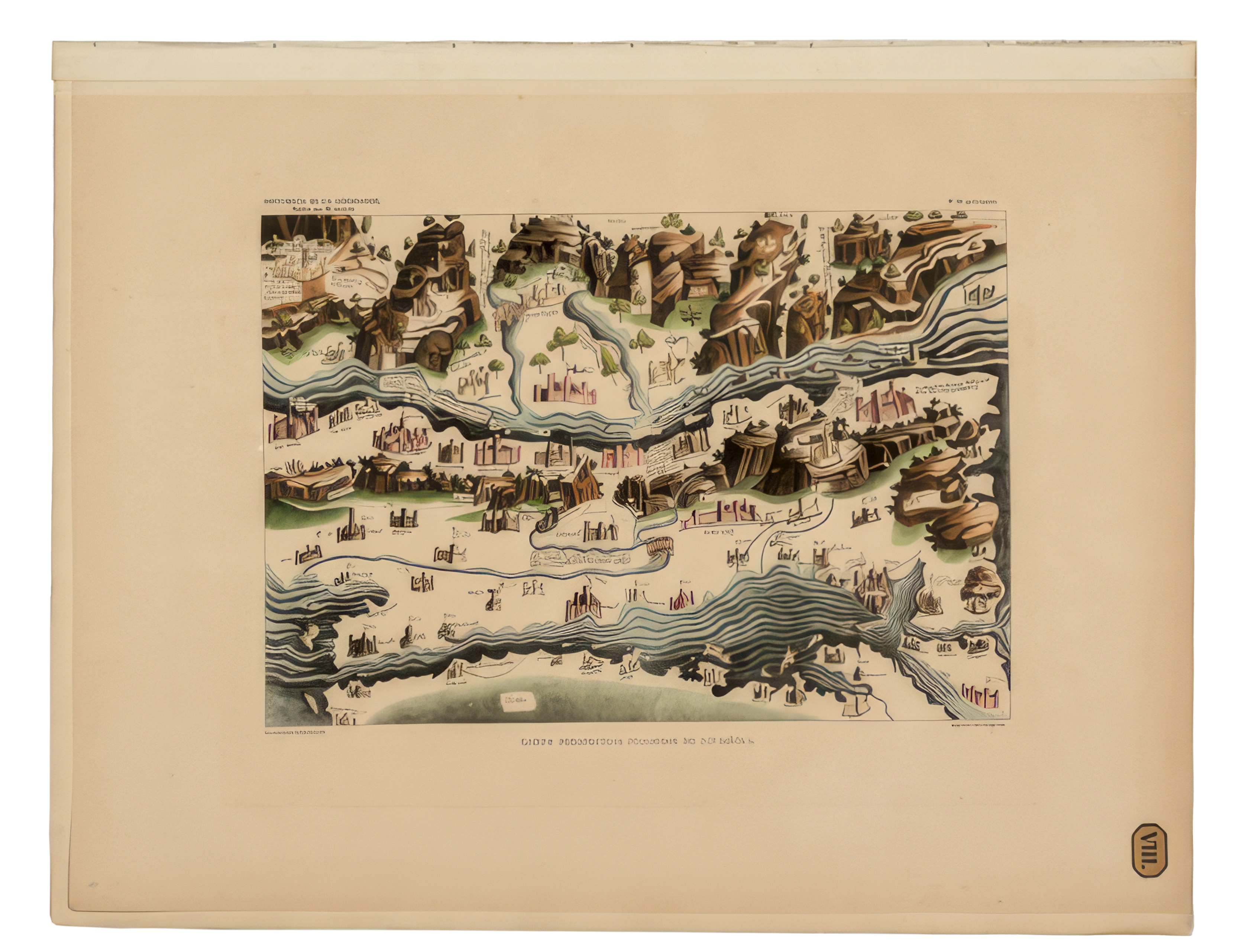
Each map was often embellished with artists' accoutrements to accentuate the location with godheads representing the prevailing winds, exotic animals placed in the maps and in the sea, often Neptune ruled the waves. The maps were minutely notated with towns, rivers and cities. Significant events were added such as the birth of Christ, the flight from Mecca to Medina, the algal blooming of the Red Sea, the important outline of the new world, the Americas, and the valuable spice islands of the east.
Portolan Charts
These charts generally show the main ports and were used to navigate one’s route around a coastline, hence a portolan chart will have most of the known ports on the coast listed.
Portolan charts have rhumb lines which were used for navigation, sometimes known as windrose lines. These were drawn to match the, at first, 16 points of the compass, and later the 32 points of the compass, later with approximate north the dominant line. Sailing along those lines at sea with dead reckoning should take the ship past the various ports and land forms, keep the ship on course until it arrived at its destination. The Mercator maps with Rhumb lines is a good example in the compendium.
The following is a quote from Anne Godlewska's The Geographic Imagination and the First Great Facsimile Atlases-
Introduction - Although he is today largely forgotten, Edme Francois Jomard was one of the most important geographers and indeed an important personality of early nineteenth century France. He lived a total of 85 years and his experience spanned the Ancien regime, the Revolution and its regimes, the First Empire, the Consulat, the Restoration, both soft and hard versions, the July Monarchy, the Second Republic, and the Second Empire.
© The Royal Geographical Society of South Australia