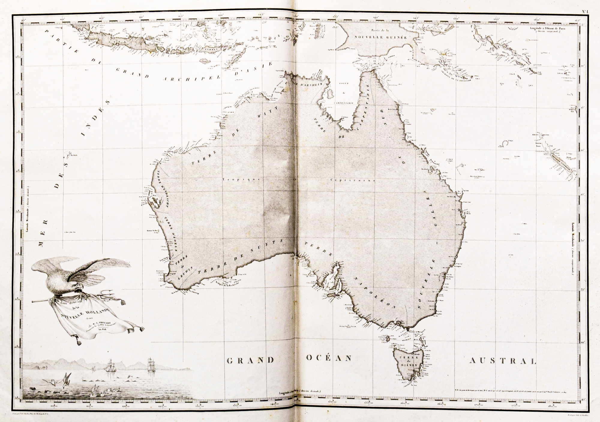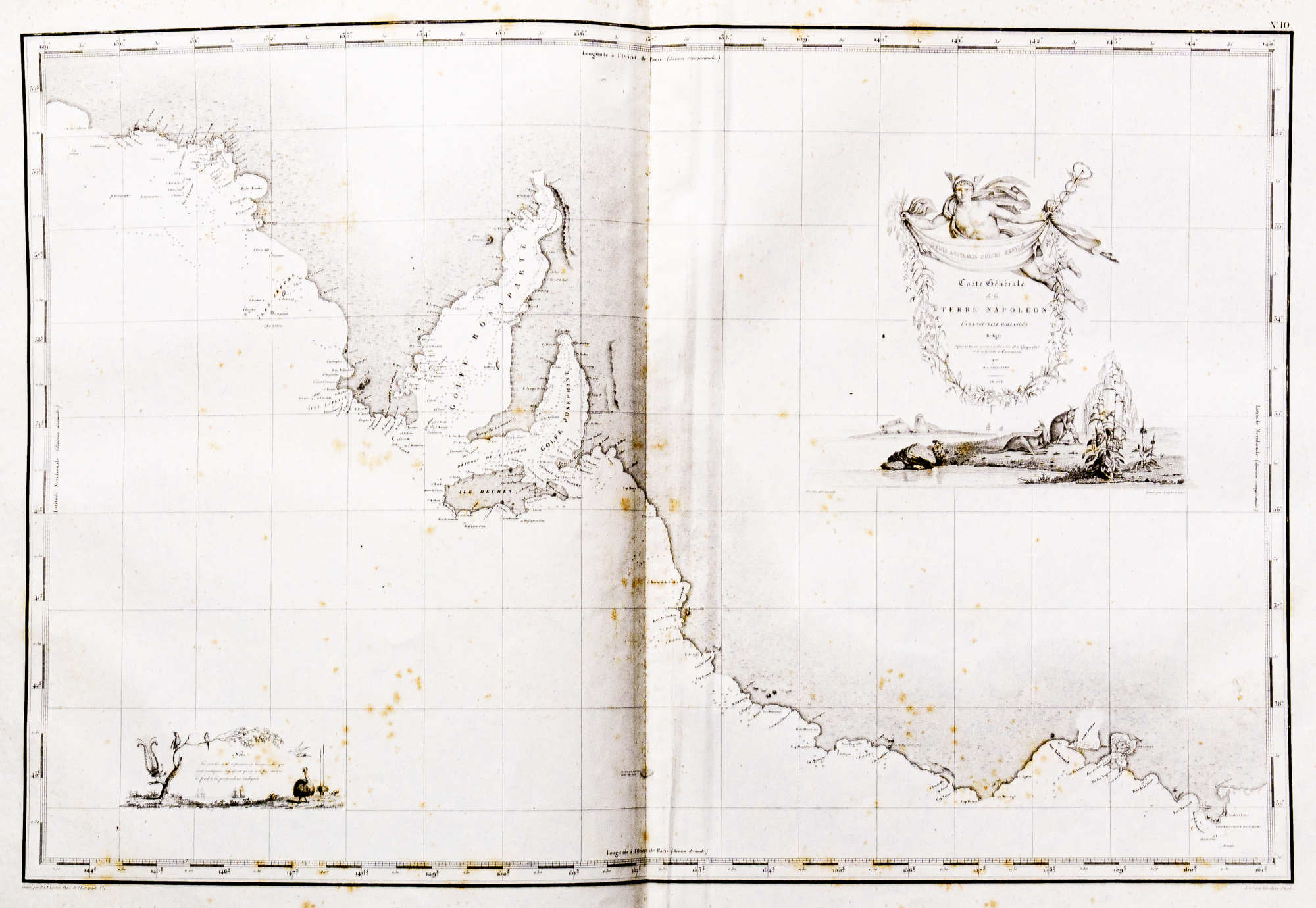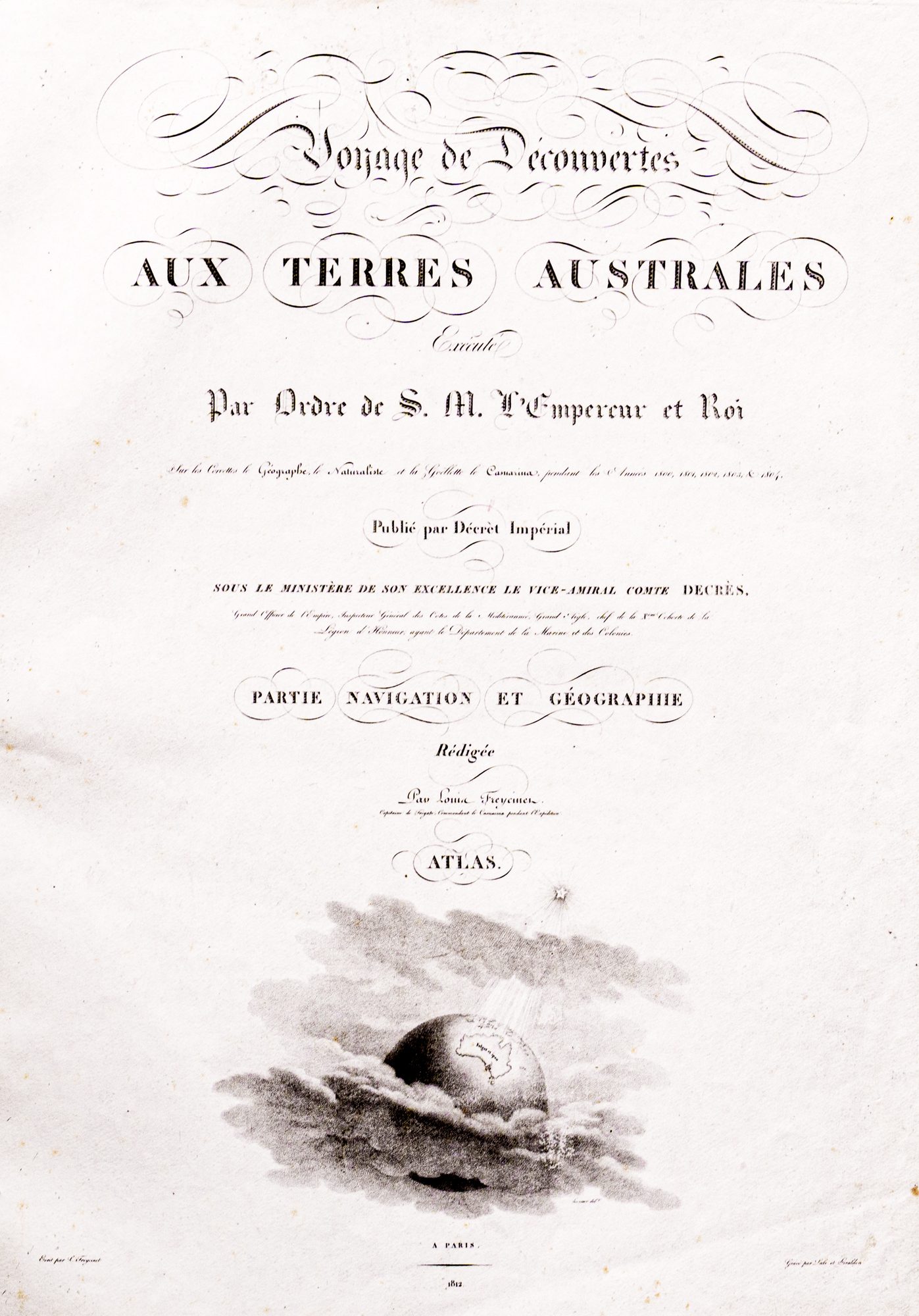

This treasure consists of three volumes written by Francois Peron and a collection of magnificent maps by Louis de Freycinet. These record the journey of exploration to the "south seas" under Capt. Nicholas Baudin between 1800 and 1804, which included the south coast of Australia. Among the maps is the first published map of the whole of the coastline of Australia. It was during this voyage that Baudin's and Mathew Flinders' paths crossed at Encounter Bay, South Australia in May 1802.


Completing school in 1790 Francois Peron (1775-1810) fought in the Napoleonic wars, was wounded and taken prisoner. He then studied medicine and zoology in Paris and then, possibly as a result of the rejection of his marriage proposal, he enlisted as a "pupil zoologist" as part of the scientific team on a voyage of discovery to the southern lands commissioned by Napoleon and under the command of Captain Nicholas Baudin (1754-1803). The two vessels making up the expedition, were the corvettes Le Geographe and Le Naturaliste. Setting sail from Le Havre in October 1800 the ships' complements included scientists and artists to further French scientific understanding and knowledge of the south seas and Australia.
While the purpose of the expedition was mainly to explore and chart the southern coast of Australia, Peron's interest lay in collecting and recording the plants and animals, many of which were new to science, and to observe and record the native people. He collected over 100,000 specimens and some 2,500 species. He did not get on with Baudin who was often frustrated by Peron's obsessive collecting and time spent on shore.
Also on board were Assistant Gunners Charles-Alexandre Lesueur and Nicolas-Martin Petit who, due to desertions and deaths among the crew, became the expedition artists. Lesueur worked closely with Peron recording the animals and plants and the coastline with many beautiful drawings and paintings.
On his return to France in March 1804, and without Baudin who had died on the return journey, Peron undertook to write the official account of the voyage (without mentioning Baudin) and to publish the magnificent maps by Louis de Freycinet who made his own expedition to Australia in 1818. Published between 1807 and 1816 the work was completed by Freycinet as Peron died in 1810. The maps include the coastline of Australia and Tasmania, Western Port Bay, the east coast of South Australia, Kangaroo Island, Gulf St .Vincent, Spencer Gulf.

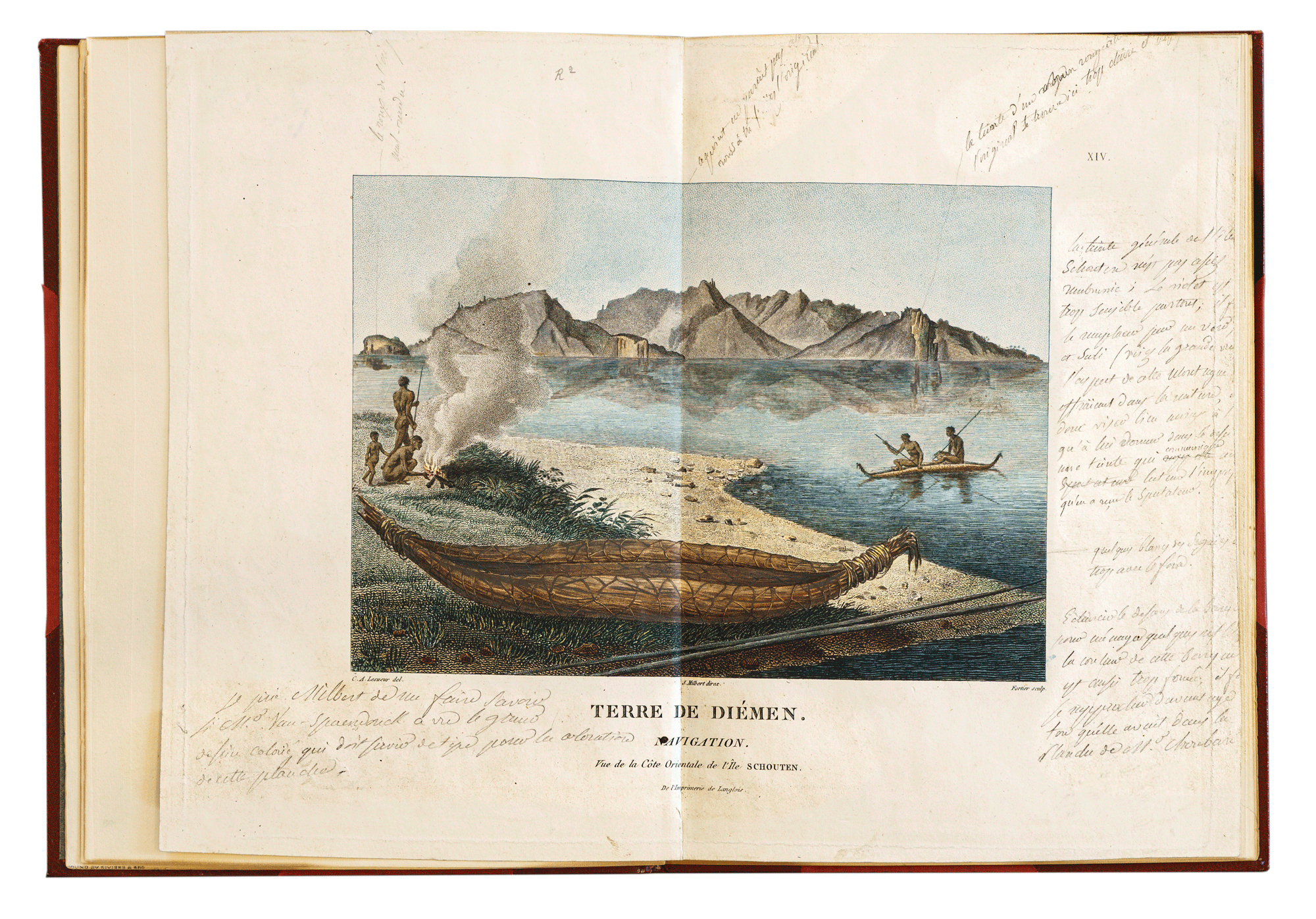
Also in the RGSSA collection is one original proof of Plate XIV from the Atlas of plates by C A Lesueur and N M Petit, "Voyage of Discovery to the Southern Lands, Historical Record Atlas accompanying Peron's Voyage de Decouvertes aux Tones Australes, Paris, 1807". (This included 68 plates including nine maps and twenty-seven plates in colour).
Of special interest on Plate XIV are the pencil notes in the border asking J. Milbert, Director of the preparation of the plates, to have certain alterations made. A typescript page bound with the plate ascribes the notes to Peron. c. 25 x 17 cm. half leather. (MS. 2 la) The bookplate of Thomas Gill is inside the front cover.
RGS 919.4042 P453c 3 Volumes, Rare Book Room
RGS 919.4042 P453 d Atlas, h Rare Book Room
Nicolas Baudin was in charge of the French Expedition to map the Australian Coastline. He was an explorer, cartographer, naturalist and hydrographer. On 24 July 1798, at the suggestion of the French Ministry of Marine, Baudin presented to the Assembly of Professors and Administrators of the National Museum of Natural History a plan for a hydrographic-survey expedition to the South Seas, which would include a search for fauna and flora that could be brought back for cultivation in France. The expedition would also have the aim of promoting the economic and commercial interests of France in the regions to be visited.
In 2002 the Society through SA Major Events had a series of State activities to commemorate The Encounter with Matthew Flinders off the SA coast.
© The Royal Geographical Society of South Australia