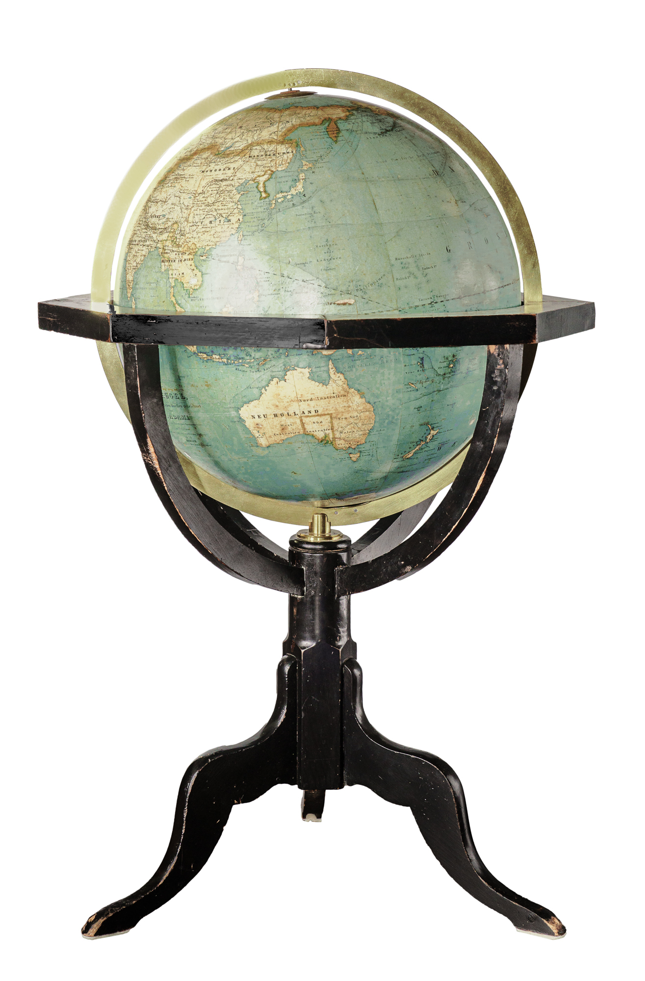
A globe is the most accurate way of showing the surface of the earth as it avoids many of the distortions inherent in two dimensional maps. Even so globes do not show the flattening of the earth's surface at the poles or the "bulge " at the equator.
The first known terrestrial globe made in modern times was made by navigator and cartographer Martin Behaim of Nuremberg in 1492 shortly before the discovery of the New World by Europeans.
By most reliable sources, the Society's terrestrial globe is attributed to C. Adami, teacher at the Royal Garrison school of Potsdam - 10th new edition-1857.
'Die Erdkugel nach dem vorzuglichsten Quellen gezeichnet', von C. Adami, 1857, Berlin published by Dietrich Reimer. In translation this is 'The globe drawn according to the most reliable sources’, but, the sources were not sufficiently reliable to prevent New Guinea being shown as two islands! Presented to the Society by J. G. O. Tepper in 1905-6.