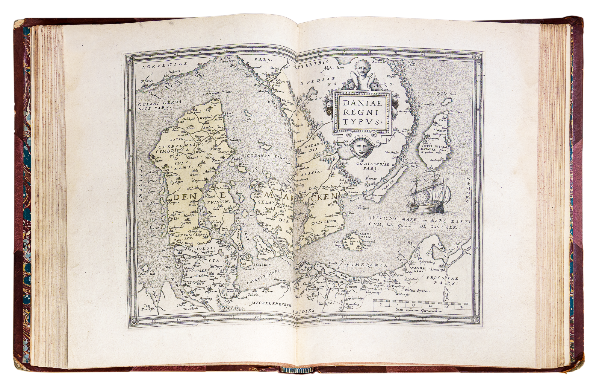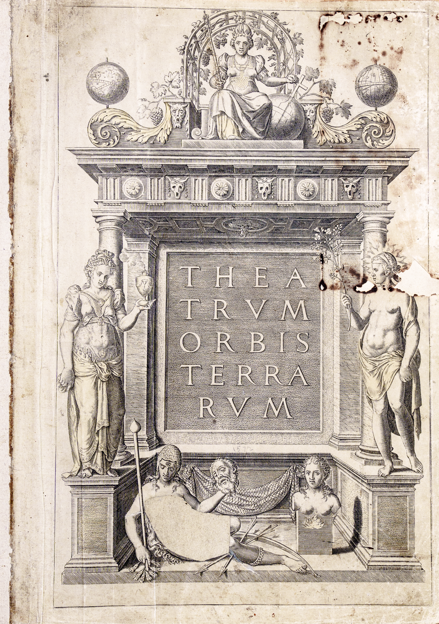
Abraham Ortelius, (1527–1598) was born in Antwerp which was one of the busiest and wealthiest ports in the world at the time. By 1570 Ortelius had placed a large collection of selected maps into one volume and thus created the first atlas -the Theatrum Orbis Terrarum - which gave a comprehensive and detailed picture of the world as known at that time. Previously, collections of maps were haphazardly arranged with no particular order or consistency of size or scale when sold.
In its first form published in 1570 the Theatrum contained seventy maps on fifty-three sheets, many engraved by Frans Hogenberg (1540-1590) a close friend of Ortelius and distinguished artist and engraver. The contents included a map of the world, four maps of the continents, fifty-six maps of Europe (countries, regions and islands), six of Asia and three of Africa. Nothing like this had ever been seen before and the Theatrum was a great success and marked an epoch in the history of cartography as it contained a selection of the best maps available at the time with authorities cited for each map. Ortelius was able to do this from his knowledge gained trading and travelling in many countries and the contacts he had made.
As a measure of its success sales of Theatrum were outstanding and three hundred and twenty-five copies were printed in the first Latin edition of 1570 and of these Christophe Plantin (bookseller and close friend of Ortelius) sold 159 in six months. A second edition came out also in Latin that same year and another the next year. The year 1571 saw the publication of the Theatrum in Dutch, Ortelius's own language, which had an initial print run of 275 copies - the first of three runs. The Royal Geographical Society of South Australia owns one of these copies.