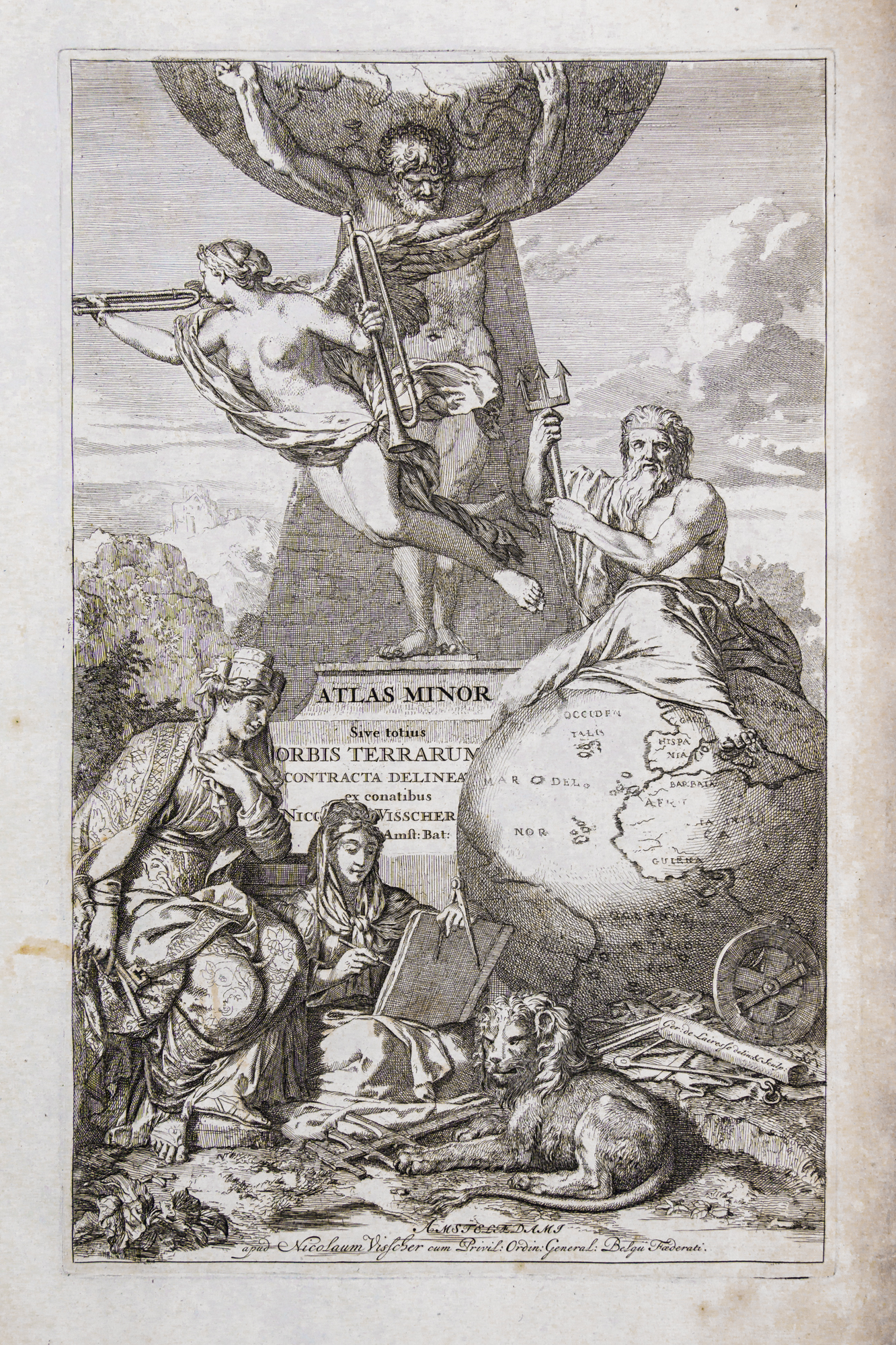
Atlas minor sive geographia compendiosa qua orbis terrarum per paucas attamen novissimas tabulas ostenditur
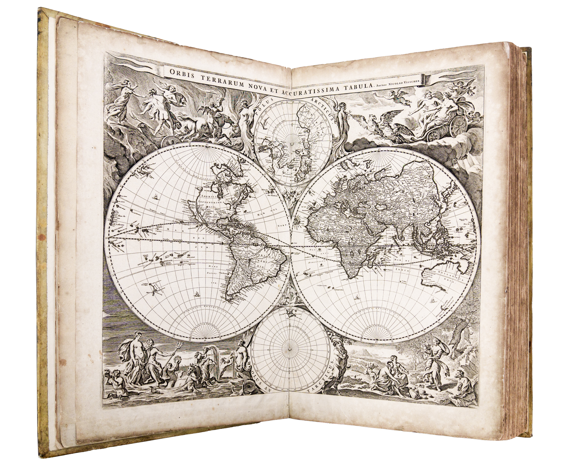
The maps in this impressive vellum bound atlas are mostly of Europe, although the globe map of the world shows New Holland including part of the South Australian coast. Unlike the Colom map (c1658) , this map includes the southern part of Van Diemen’s Land which was discovered by Tasman in 1642.
Dates on the maps range from 1652 to 1685. Interestingly, some maps include details of town plans and forests.
The eldest member of the family was Claes or Nicholaus J. Visscher, who was succeeded by Nicolaes (1618--79) and then Nicholaus (1649-1709). They produced atlases on their own account, an Atlas Contractus about 1660 and an Atlas Minor about 1680, which went into several editions. Their plates were used extensively by other map-makers both in Holland and abroad.
Tooley R. V. Maps and map makers, Crown, New York,1952.