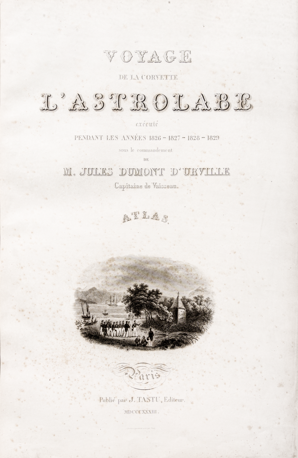
D'Urville, Jules Sebastien Cesar Dumont, Voyage de la Corvette L'Astrolabe Execute par ordre du Roi, pendant Les Annees 1826-1827-1828 1829 sous le Commendement de J. Dumont D'Urville. Atlas Hydrographique. Paris J. Tastu 1833.
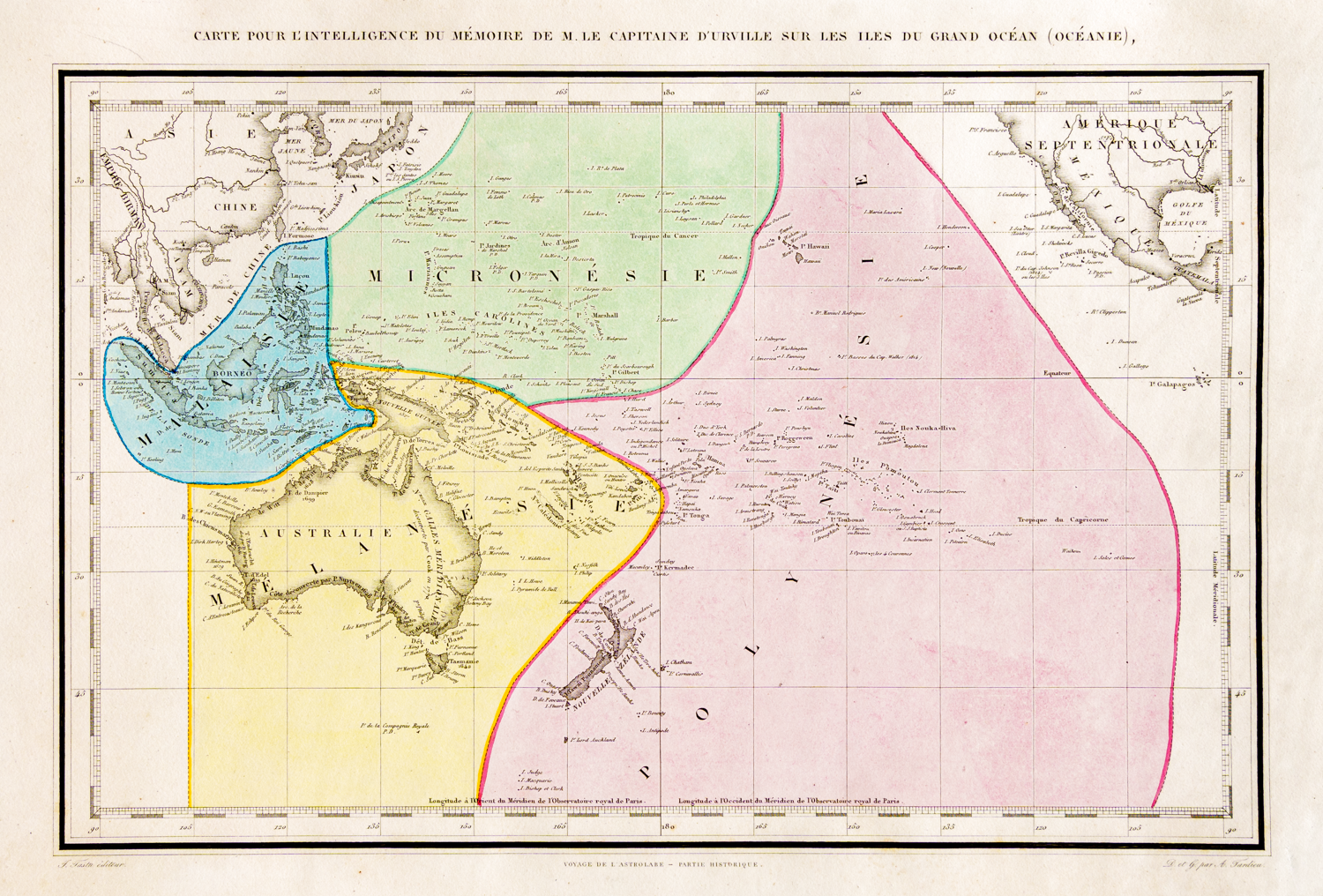
This rare first edition elephant folio size hydrographic atlas records the first voyage of the Astrolabe (1826-1829) around the world including visits to Australia, Port Jackson, New Zealand, Fiji, New Guinea, New Britain, and many other Pacific islands.


In 1826 d'Urville was assigned the corvette La Coquille for a new expedition to the South Seas. The ship was renamed the Astrolabe after that of La Perouse who vanished without trace after visiting Botany Bay when the First Fleet was there in 1788. D'Urville, an expert navigator, was said to represent the zenith of French marine exploring, covering more of the Pacific and Oceania than Cook, Bougainville or any other of his predecessors. His two major voyages were 1826-1829 to the Pacific and 1837 -1840 to Antarctica when he claimed Adelie Land (named after his wife) for France.
During the voyage to the Pacific, which is the subject of this volume, D'Urville confirmed the positions of nearly 200 islands including 60 which had not been plotted previously. He also confirmed the location of the wreck of La Perouse's Astrolabe and La Boussole finding debris which he identified among the reefs of Vanikoro on the Santa Cruz islands. The scene on the title page shows the officers of the Astrolabe on Vanikoro at the monument erected in memory of La Perouse. D'Urville's ship was known as a floating laboratory and he returned home with 1,600 plant samples and 900 rock samples as well as information about the languages of many of the islands he visited.
The artist on board was Louis Auguste de Sainson (1800- 1887).
RGSSA catalogue number rgsp 910H D 893d cabinet 3 shelf 6

© The Royal Geographical Society of South Australia