Monthly Lecture
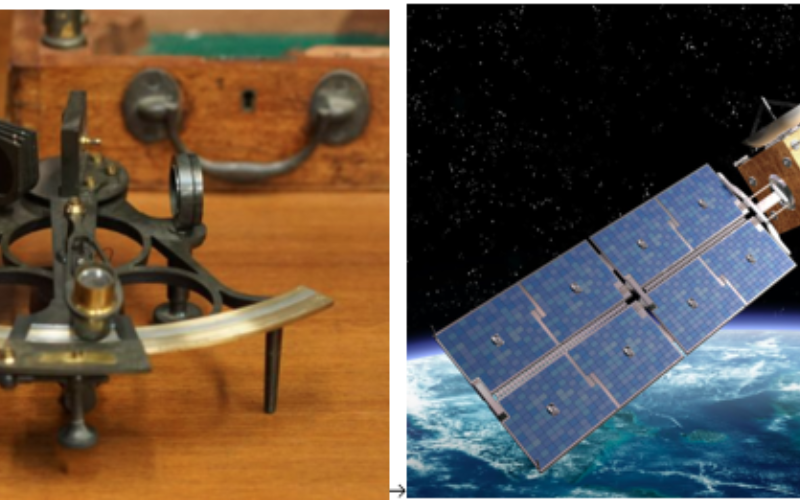
From Sextants to Satellites: Where on Earth am I?
Chris Rawlinson
NOTE: This lecture is being held on a Wednesday and will be preceded by the AGM at 5:00 pm.
This lecture will trace the development of instruments and other technologies used to determine our location on the earth’s surface, both on land and at sea.
Chris will examine how this is interwoven with our understanding of the geometry and motion of the cosmos and how that has progressed from ancient times until today. Key advances will be described and how they have combined to deliver unparalleled speed, accuracy and ease of location fixing, especially in the last few decades. The lecture will finish with a summary of the science and technology behind the ‘blue dot’ you now commonly see defining your accurate location in maps on your smart phone.
Chris has an Honours degree in Geography from the University of Newcastle-upon-Tyne, a Master’s degree in Photogrammetry and Surveying from University College London and a Graduate Certificate in Geographic Information Systems (GIS) from Flinders University, South Australia. He has worked as a geography teacher in Papua New Guinea, as a geodetic surveyor in the Middle East and as a spatial information strategist in South Australia.
Date and Time
23 October 2024 | 5:30 pm
Location
Hetzel Lecture Theatre, Institute Building, corner of North Terrace and Kintore Avenue, Adelaide.Cost
Members: $Gold Coin Non members: $10
NOTE: This is a Wednesday - not the usual Thursday.
The Lecture will be preceded by light refreshments from 4:45 pm and the AGM at 5:00 pm.