Rare Books Group
The Peutinger Map
Norman James
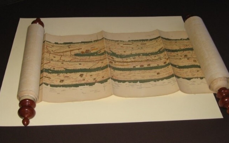
The original Peutinger Map is believed to have been commenced in Rome during the reign of Augustus as a strip map showing the Roman Empire.
The Peutinger Map is in the style of a strip map of the Roman Empire showing many towns, the distances between and some geographical features. It is thought that a parchment copy survived which was then further copied in the 13th century. This now rests in the State Library in Vienna. The RGSSA holds a printed, scrolled version on paper, made in the 19th century. There remain many questions about its origin, purpose and provenance.
Date and Time
30 July 2026 | 10:30 am
Location
Jervois Room, Mortlock Wing of State Library of SACost
Members: $Gold coin Non members: $5