Rare Books Group
WW2 Intelligence Handbooks
Phyl Twigg and Eugene Abraham
This presentation, by Eugene Abraham and Phyl Twigg, will reveal the wealth of information on Japan and some Pacific islands on topics ranging from black and white aerial maps, communication and coastal landing sites, food and water supplies, medical problems, meteorological conditions and more.
From 1943 to 1945 over 80 Military Terrain Handbooks were published to provide basic topographical information of interest to Allied Forces in Japanese-occupied areas in the Pacific. At the time, they represented the best information available, especially in remote areas which had not been occupied by Allied Troops. Hence, they were marked “restricted” as the information they contained was considered so valuable that they were ordered to “be destroyed if in danger of falling into enemy hands.”
At the time, from July 1941 to July 1942, Australia was experiencing the threat of Japan occupying and dominating the entire Pacific Region, with Pearl Harbour, the fall of Singapore, the bombing of Darwin, the attacks on Sydney Harbour, the Kokoda Track, and the bombing of many other Australian towns, all within a few months of each other.
Published by the Australian Government, the Handbooks in the RGSSA collection provide a special opportunity to examine rare material which has not seen the light of day for many years.
A full copy of the SLSA map can be found here.
Date and Time
22 February 2024 | 10:30 am
Location
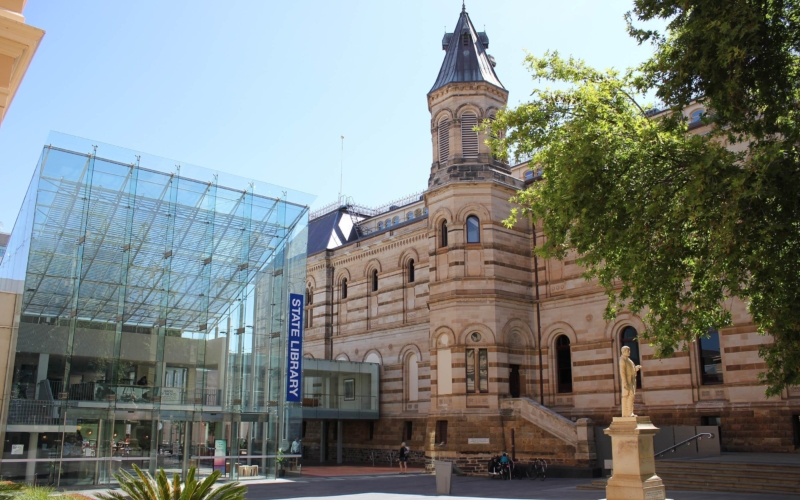
Jervois Room, Ground floor, Mortlock Wing, State Library of South AustraliaCost
Members: $Gold coin Non members: $5
NOTE: This session is now being held in the usual location